
Missoula’s Best Hiking Spots

At the top of the ‘M’
Undoubtedly, one of the best features in Missoula is the access to hiking. Trailheads are accessible from all parts of Missoula and in most cases, it takes under a half hour to get to them. Whether your family is new to hiking or you’ve become trail experts, you’ll find a number of hikes in and around Missoula to enjoy—here are a few of our favorites for families!
Blue Mountain Recreation Area
Distance: Varies depending upon trail
Elevation: Varies depending upon trail
Experience Level: Beginner to Experienced
Dogs: Un-leashed on some trails and leashed on others (signs posted)
Strollers: Maclay Flats, Blue Mountain Nature Trail, other trails not ideal
Blue Mountain Recreation Area is a family favorite year round with sledding hills, snowmobiling, hiking and mountain biking trails, nature walks, folf courses, horseback and ATV trails. The most popular trails for family hikes are the Blue Mountain National Recreation Trail and Maclay Flats. Maclay Flats is stroller friendly and wheelchair accessible with the option to go 1.25 or 1.8 miles. Parts of the trail follow along the Bitterroot River including interpretive signs that display information along the trail about the river, wildlife, and vegetation. Blue Mountain National Recreation Trail is popular among dog-owners as there are no restrictions for dogs to be leashed. The hike is 7 miles total but like any hike, you can go as far as you like and then head back to the trail-head. Learn more about Blue Mountain Recreation Area here.
The ‘L’—Mount Jumbo
Distance: .6 miles
Elevation: 500 feet
Experience Level: Beginner to Expert
Dogs: Leashed within 300 yards of trail-head or on private property except for Dec. 1 through April 30 where they must be leashed at all times
Strollers: No
Looking for a hike with beautiful views and a little less strenuous than the ‘M’? Try the ‘L’. Although its a longer hike, there are fewer switchbacks making it a bit easier and more inviting for Beginners.The ‘L’ represents Loyola Sacred Heart Catholic High School and is located on Mount Jumbo.
The ‘M’—Mount Sentinel
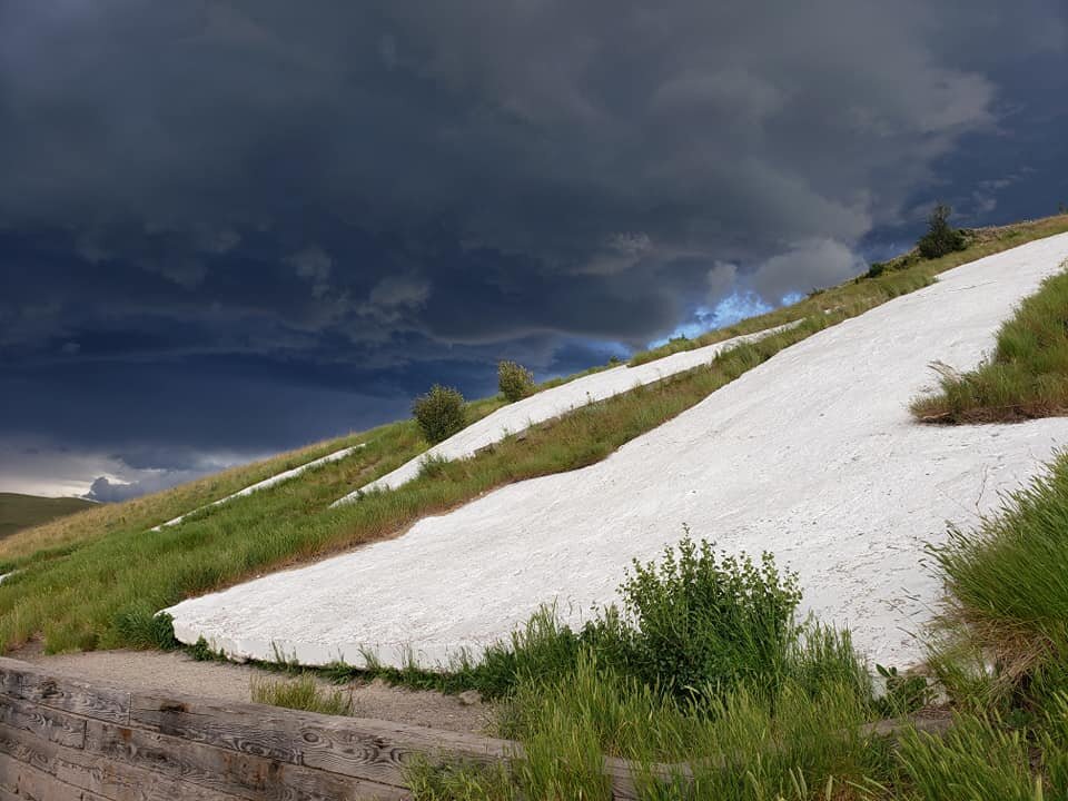
Photo of the ‘M’ courtesy of Jenny Stubb
Distance: 3/4 mile to 'M' and 1 and 3/4 miles to top of Mount Sentinel Elevation: 690 feet to ‘M’ and 1,958 feet to the top of Mount Sentinel
Experience Level: Intermediate to Experienced but Beginners encouraged
Dogs: Leashed only
Strollers: No
The M is a Missoula favorite, frequented by locals and visitors alike it will take your breath away… literally! Upon reaching the ‘M’, you’ll find the views to be the best in Missoula--overlooking the Missoula valley with views of the Missoula Valley and the Clark Fork River. Although it’s less than a mile long, it can be a strenuous hike for some with 13 switchbacks and a gain in elevation of 620 feet. Once you reach the top, you’ll be greeted by Missoula’s beloved concrete ‘M’. If you’re feeling adventurous, you can continue on for another mile to the top of Mount Sentinel. Learn more about the history of the ‘M’ here.
Pattee Canyon Recreation Area

Photos courtesy of Mary Jo McBride and her pup, Vega
Distance: Multiple trails ranging from 1 to 4 miles
Elevation: Less than 100 feet on many of the trails to 1,258 feet on Crazy Canyon Trail
Experience Level: Beginner to Experienced
Dogs: Un-leashed, under owner control
Strollers: Possible on some trails, not ideal on others
Pattee Canyon Recreation Area is touted for being a family favorite. From hiking, mountain biking and folfing activities during the warmer months to cross-country skiing in the winter Pattee Canyon has a number of recreational opportunities to welcome you back. The hiking trails are out-and-back loops complete with a picnic area. Named in honor of a local Missoulian, the Sam Braxton National Recreation Trail is a popular hike for intermediate to experienced hikers. It’s 3.4 mile hike with an elevation gain of 350 feet. Learn more about Pattee Canyon Recreation Area here.
Rattlesnake Recreation Area
Distance: Varies, up to 33.9 miles
Elevation: Varies depending upon trail
Experience Level: Beginner to Experienced
Dogs: No dogs are allowed in the area Dec. 1-May 15. During the remaining months, dogs must be on a leash from the confluence of Spring Creek and Rattlesnake Creek to milepost 1.3
Strollers: Rattlesnake Trail (only up to 5 miles), not ideal on others
The Rattlesnake Recreation Area is a great hiking spot not too far from downtown Missoula. Although it’s named after the venomous Rattlesnake, you won’t find any in the area. From different trail-heads, you can choose any one of the 8 trails in the area. Rattlesnake Trail is the hike most traveled by beginners and families. While the overall trail distance is 33.9 miles, you can hike as far as you’d like since the first 9 miles are gentle, low-grade, and follow along the beautiful Rattlesnake Creek. Find out more here.
Waterworks Hill / Peace Park
Distance: Greenough Trail-head to Peace Park .3 miles or to Moon-Randolph Homestead 2.17 miles
Elevation: varies depending trail hiked
Experience Level: Beginner to Expert
Dogs: Leashed within 300 yards of trail-head or on private property
Strollers: No
Waterworks Hill is a popular trail among hikers and trail runners. It’s a great hike for families and hikers of any experience level. Less than a mile from downtown, this trail is easily accessed from anywhere in Missoula but parking can be rather crowded at times. From the trail-head, you can reach Missoula’s iconic Peace Park in under a half mile and from there, on the main trail, you can continue on or return to the trail-head.

Photo courtesy of National Recreation and Park Association